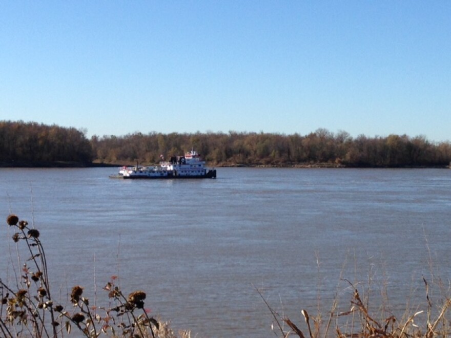
An 86-mile stretch of levees along the Mississippi River was a source of hand-wringing from Alton to Columbia, Illinois, back in 2007.
Now local officials speak with pride about the work to improve the levee system.
"This is truly a textbook case on the way government should operate, working together to solve a problem," said Alan Dunstan, Madison County Board chairman, during a tour of the levees on Monday.
In 2007 the Federal Emergency Management Agency notified levee districts in Madison, Monroe and St. Clair Counties that the system had major problems. It gave the area until 2015 to get the levees back up to 100-year flood protection or lose accreditation.
Without FEMA accreditation, business and home owners would have to buy flood insurance. State Senator Bill Haine, a Democrat from Alton, said it would have been an economic disaster for an area with 60,000 homes and $3.3 billion in payroll.

"FEMA threatened to decertify the levees, which means in effect, that they would say your levees don’t exist," Haine said. "Business can’t expand. You have homeowners who have to buy very expensive flood insurance. The whole area becomes in effect a flood plain. That was intolerable."
So in 2007 the senator sponsored legislation in Springfield to allow the counties to levy a tax. Madison, Monroe and St. Clair Counties each passed a one quarter cent sales tax to pay for the upgrades and create flood districts in each county.
On Monday, Haine and other officials gathered at the muddy foot of the levee near Wood River to see the progress that’s being made. Chuck Etwert, chief supervisor of the Southwestern Illinois Flood Prevention District, said 60 percent of the upgrades are complete with $43 million spent so far. He said the rest will be finished by the end of next summer for an additional $20 million.
While they won’t fully meet FEMA’s original deadline, Etwert said the federal government is working with them.
"It’s maybe a little bit different than it was years ago when we were sort of fighting FEMA," he said. "They know we’re doing these projects. They can see we’re getting things done."
A FEMA official confirmed that the agency is in contact with Metro East communities about the work. Region V spokeswoman Carrie Ringsdorf said FEMA plans to release work maps next summer. She said they’re hoping to receive levee certification information from the districts around that time in order to

create preliminary flood insurance rate maps.
"Once the preliminary maps are developed, we would follow our standard map adoption process to finalize those maps and make them effective for the communities," Ringsdorf said.
At the levee in Wood River, work will soon begin to create a subterranean wall 1,900 feet long and 140 feet deep. They’ll use a mixture of cement and bentonite, a type of clay, to prevent water from seeping through or below the levee. It will cost about $13.9 million and is expected to be done this spring.
That’s a lot sooner than if local government officials had left the project to the federal government.
"If we had waited for the Corps of Engineers to do this they were talking about the year 2044," said Madison County Board Chairman Dunstan. "Think about that. Wait until 2044. There’s no way we could wait until then to get the levees done."
The local levee districts plan to keep going with work once the 100-year flood protection is reached. The plan is to issue another $65 million in bonds in the next year to begin work on 500-year flood protection in conjunction with the Army Corps of Engineers with a 35/65 work divide.
Follow Maria on Twitter: @radioaltman.


