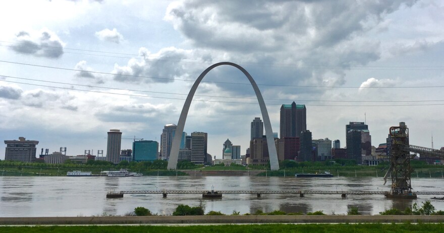
The Missouri side of the St. Louis metro area will have a new regionwide disaster plan next year come hell or floodwaters.
A local council of governments wants people concerned about flooding and other natural risks in their areas to comment on the plan before it is finalized in January.
The St. Louis Regional Hazard Mitigation Plan presents strategies to help local governments and school districts manage natural disasters. Experts say such plans give regions an opportunity to make changes that can decrease the costs and consequences of such disasters.
Prevention projects proposed in the new plan, which outlines potential policies through 2025, will be eligible for federal funding. This would be the fourth plan adopted since 2004, when the East-West Gateway Council of Governments developed its first plan with the Missouri State Emergency Management Agency.
To inform the newest plan, East-West Gateway wants to know what natural disasters are the biggest concerns to St. Louis residents as well as residents of Franklin, Jefferson, St. Charles and St. Louis counties.
Those concerns could shape projects that aim to prevent or limit the damage from natural disasters, according to the council’s environmental and community planning manager, Jennifer Vuitel.
“We’re hoping to hear about what their concerns are in their neighborhood. Is flooding a big issue there? Or was there a big ice storm that knocked out their power?” Vuitel said.
Projects listed in the proposal are eligible for Pre-Disaster Mitigation Grant funding, which helps communities pay for projects like levees, pipes and drains as well as the restoration of natural infrastructure like wetlands.
Vuitel said that the council wants to hear from people, in part, to gather more data about where natural disasters are causing problems for people.
“Flooding, of course, with the rivers right now, is at the forefront of people’s mind. But there are other things that happen here,” she said. The plan may consider extreme heat, drought, high winds, tornadoes and hail storms, among others.
Many of the towns along the Mississippi River have similar plans. Colin Wellenkamp has seen a number of them as director of Missouri River Cities and Towns Initiative, which coordinates flood-prevention efforts along the Mississippi River.
Wellenkamp said the best hazard-mitigation plans consider affordable, long-term solutions to natural disasters.
“If you live in an area that is near a floodplain, we can reconnect that floodplain to main tributaries and channel that water out of your basement and into the river itself. That’s a much safer way to do these things,” he said.
Wetlands and other natural features have been shown to decrease flood damage, so Wellenkamp and others advocate for renaturalizing areas that have lost plants and wildlife.
Wellenkamp said that hazard plans also provide an opportunity for regions to design projects that could limit the damage from multiple types of natural disasters. For instance, urban green spaces can decrease flooding, but they can also shade sidewalks and roads from damage caused by high-heat disasters.
The new proposal will highlight what has changed since the 2015-2020 hazard plan, Vuitel said. It will also analyze which buildings or areas experience repetitive loss, increasing costs and danger to residents.
The council is offering public information sessions at various locations through May. East-West Gateway will collect surveys online until August. Visit the organization’s website to learn more about how to attend.
Follow Kae on Twitter: @kmaepetrin
Send questions and comments about this story to feedback@stlpublicradio.org


