Vast wildfires in Australia, California and elsewhere continue to have wide-sweeping impacts, testing the limits of firefighters on the front lines and presenting new challenges for experts in all sorts of sectors. At St. Louis University’s Geospatial Institute — also known as GeoSLU — researchers are using remotely sensed images and spatial analysis to extend our understanding of these disasters and others.
The geospatial technology helps them predict wildfires as well as map the extent and severity of wildfires after they have occurred.
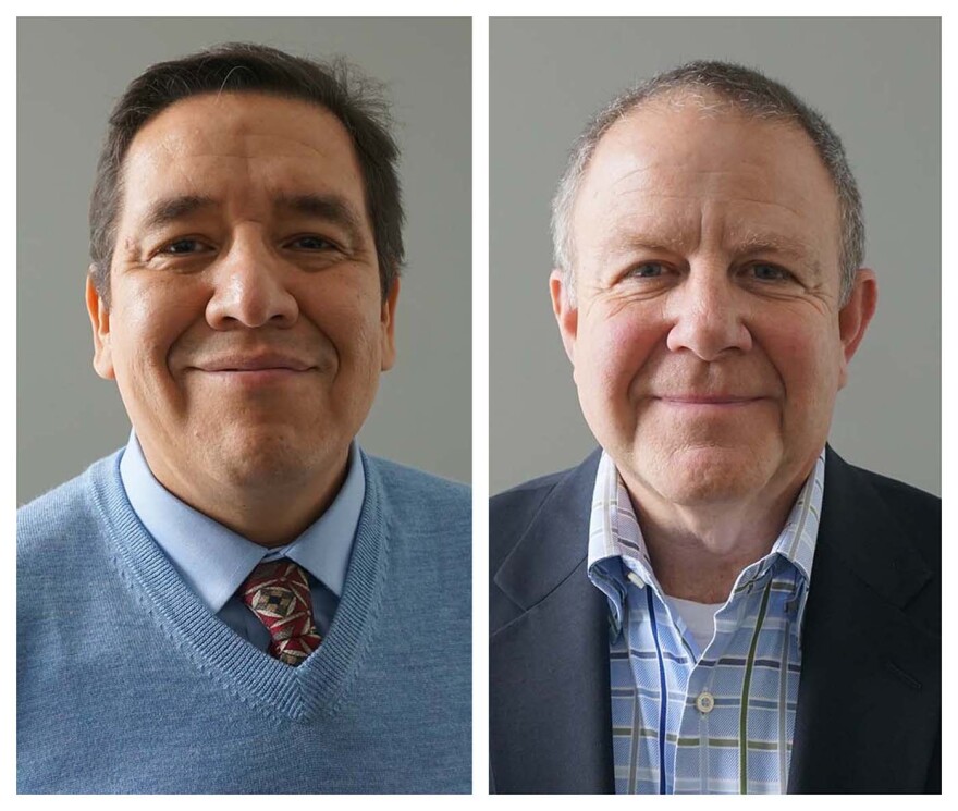
On Wednesday’s St. Louis on the Air, host Sarah Fenske led a conversation about the difference this research can make. She talked with Ness Sandoval, associate professor of sociology at St. Louis University and an associate director of the Geospatial Institute, and with Shawn Steadman, director of SLU’s emergency management program.
Listen to the discussion:
“St. Louis on the Air” brings you the stories of St. Louis and the people who live, work and create in our region. The show is hosted by Sarah Fenske and produced by Alex Heuer, Emily Woodbury, Evie Hemphill and Lara Hamdan. The engineer is Aaron Doerr, and production assistance is provided by Charlie McDonald.
Send questions and comments about this story to feedback@stlpublicradio.org.


